

July 16, 2026
Conam’s Steep Hills Geofencing
Conam, a proud member of the Quanta Services family, has developed a GPS-based safety system that keeps crews away from dangerous terrain before they ever reach it: Steep Hills Geofencing.
When you are maintaining over 500 miles of transmission line, terrain changes constantly and vague guidance does not cut it. Warnings to “watch out for steep hills” in line-up meetings left crews without answers to the most important question: where, exactly? Physical signs placed in the field were knocked over by cattle and offered no real longevity. The gap between what crews were told and what they needed to know was too wide – and it showed.
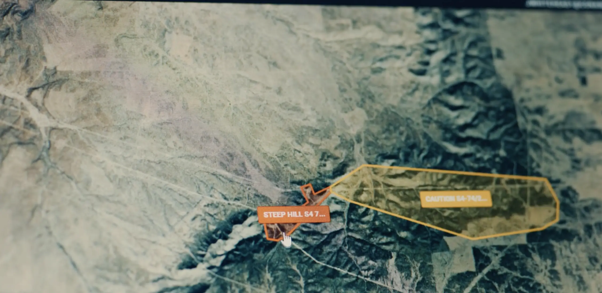
The geofencing system closes that gap entirely. Every hazardous location along the route is mapped by precise GPS coordinates and categorized into two tiers: caution zones and danger zones. GPS units installed on fleet vehicles monitor location in real time. When a truck approaches a flagged area, automated text notifications go immediately to the foreman, safety personnel, and leadership. Before leaving the yard, crews can also pull up a field mapping app, tap on any flagged location, and read detailed notes about the terrain ahead. When one crew member recently took a wrong turn toward a danger zone, he received calls from three separate people within two minutes telling him to turn around. That is the system working exactly as designed.